Believe it or not, I have some notable weather updates to share with you in mid-August across North Texas. Over the next seven days, our forecast indicates isolated showers and storms, accompanied by near-average temperatures. By Saturday, our average high temperature will decrease to 96 degrees, marking the beginning of our cooling trend as we approach fall next month.
Happy almost Friday, ladies and gentlemen. Fortunately, this summer has not been excessively hot, with only three triple-digit temperatures recorded at DFW, which is below the average of 20 throughout an entire summer. Additionally, we are expecting scattered shower and thunderstorm chances over the next seven days. Today and tomorrow, most of these storms will remain south of us, with afternoon highs reaching the mid-90s today and upper 90s on Friday. Heat index values will range from 100 to 103 degrees, just below heat advisory criteria.
This weekend, storm chances will primarily remain south of the Dallas-Fort Worth area on Saturday and west of DFW on Sunday. However, I cannot rule out the possibility of a few storms sneaking into North Texas. Afternoon highs will settle in the mid-90s.
The reason I am highlighting better storm chances, particularly west of us on Sunday and Monday, is due to a system exiting the Yucatan Peninsula into the Western Gulf of Mexico. The Hurricane Center will investigate this cluster of storms later this afternoon to determine if there is any low-level circulation. As of now, a weak tropical storm may form before moving into northeast Mexico this weekend. This system will spread moisture into South Texas on Saturday and the Hill Country on Sunday. I hope the flood potential remains low, but it is something to monitor for our friends to the south.
Some of this moisture will move into West Central Texas, mainly west of Highway 281, on Sunday and Monday. A change in the track of the moisture could increase our storm chances in the area. Stay tuned for further updates.
By Tuesday, especially Wednesday of next week, winds in the upper levels of the atmosphere will shift northward. This may drive a strong cold front close to North Texas by Wednesday, leading to widespread shower and thunderstorm activity, as well as much cooler temperatures by the end of next week. Stay tuned for updates on this forecast.
I must admit that I find 7-day forecasts challenging. Ideally, I would prefer to focus on a three-day forecast! HA!
That's all for now on this Thursday morning. I hope everyone has a great day today and remembers to enjoy the weather when you can, it's the only weather you've got!
7-Day Headlines:
* DFW Airport reached 93 on Thursday.
* No Heat Advisories as of now.
* Heat indicies near 105.
* Isolated late-day storms today - the middle of next week.
* Temperatures mid to upper 90s.
*Yest Rain: 0.00"; Yest High: 93; Low: 77
*Today's Averages: High: 97; Low: 77
*Record high: 106 (1911, 2012); Record low: 62 (1967)
*August Rain: 1.34"; Surplus: 0.55"
*2025 Rain: 23.50"; Surplus: 0.34"
*Sunrise: 6:52am; Sunset: 8:13pm
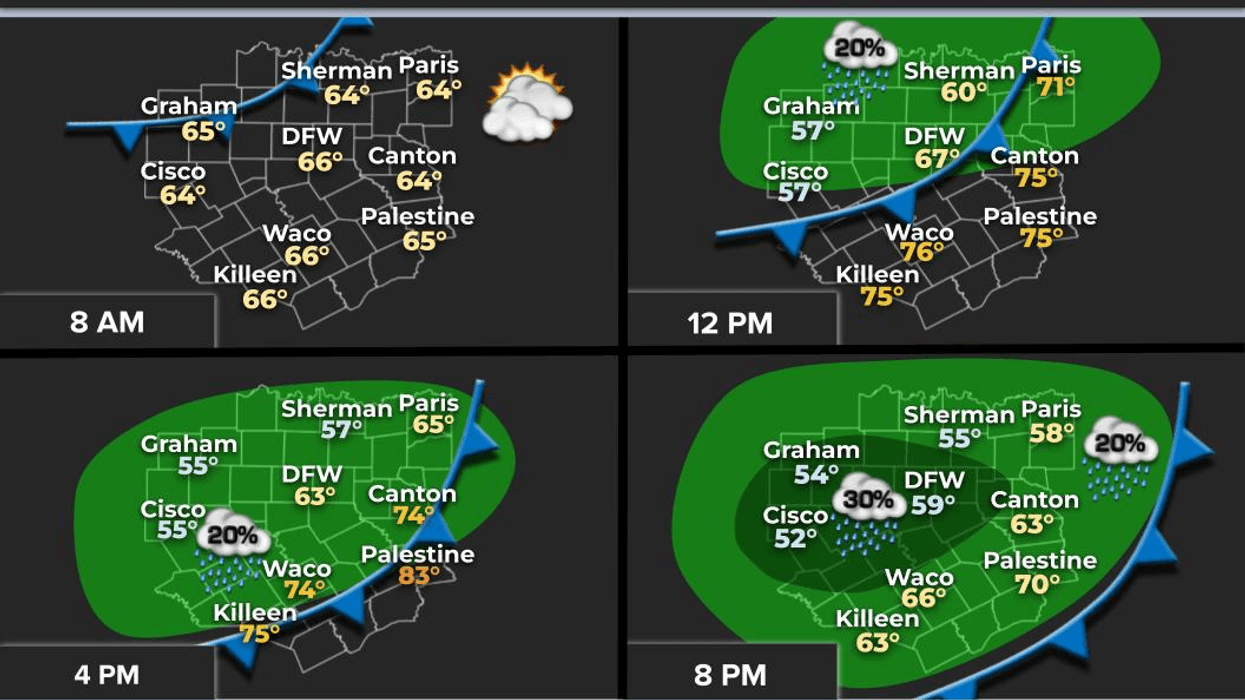
Thursday: Partly cloudy and hot. Isolated late-day storms. High: Mid 90s. Heat index: Near 102 degrees. Wind: SE 5-10 mph.
Thursday night: Partly cloudy and muggy. Low: Mid to upper 70s. Wind: South 5-10 mph.
Friday: Partly cloudy and hot. High: Upper 90s. Heat index: Near 105 degrees. Wind: SE 10-20 mph.
Weekend: Partly cloudy, hot and humid. Isolated late-day showers and storms. High: Mid 90s.
Monday through Wednesday: Partly cloudy, hot and humid. Isolated late-day showers and storms. High: Mid 90s.
LISTEN on the Audacy App
Tell your Smart Speaker to "PLAY 1080 KRLD"
Sign Up to receive our KRLD Insider Newsletter for more news
Follow us on Facebook | Twitter | Instagram | YouTube