DETROIT (WWJ) – We've got a heat wave on our hands, leaving us wondering whether it's spring or summer in Metro Detroit.
But how long will it last?
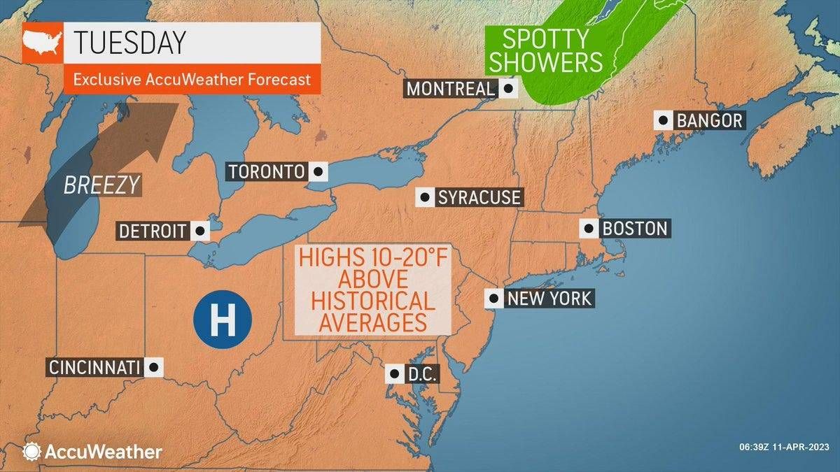
Temperatures climbed into the 80s across Metro Detroit on Wednesday and it's looking like more of the same over the next couple days, according to AccuWeather meteorologist John Feerick.
"Tomorrow we're definitely gonna see the sun and again tomorrow we're up into the low 80s," Feerick said on "Weather Wednesday," noting more clouds will make their way into the area Friday, though temps will still flirt with 80.
Cooler weather will work its way in for the weekend, though Saturday will still be "well above average," Feerick said, with the high temp expected to be 76.
The National Weather Service says despite the recent stretch of warm weather, we may not be done with the cold weather just yet.
On average, our last spring freeze in this area typically occurs between late April and early May, according to the NWS.
The latest freeze Detroit ever saw was May 29, 1966, while the earliest last freeze of the year came on March 23, 2017.
But Feerick, for the most part, thinks we're probably done with freezing temps this season.
"There is gonna be another cool shot, say Monday night into Tuesday morning and again that may hang on into Wednesday morning," he said. "We may have temperatures that are down into the mid-30s. Maybe not so much a freeze, but certainly we could see a little bit of frost again early next week."
"After that, I think we're probably pretty much out of the woods," he said.
As for why we're getting this high heat in April, Feerick said "there's a really large area of high pressure that's dominating the Great Lakes and the northeastern portion of the country."
He said temps across that area were anywhere from 20-30 degrees above average on Wednesday.